350 m
Although it is pretty flat round here, that does not mean that there are no hills at all. 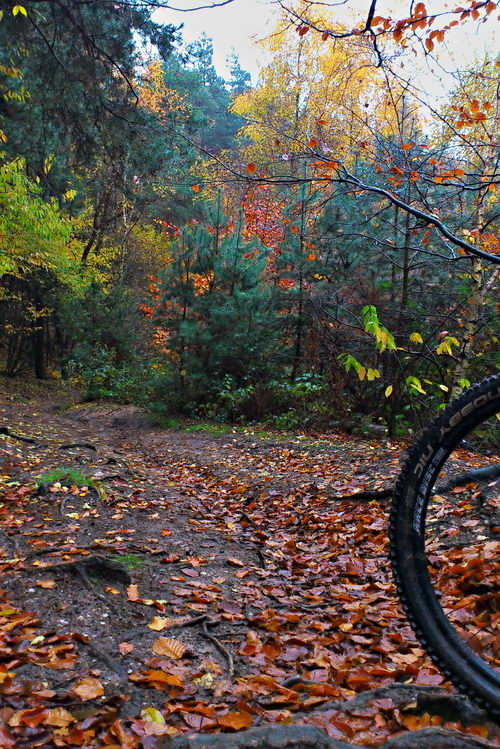 The river Rhine slices through a couple of glacial morraines, which means that at a few places there is a relatively steep hill going up from the floodplain onto the land above. One such area is near Doorwerth, which is about ten kilometers upstream from Wageningen. I had not been that way for a while, but today I thought it was time to see if my flu really was completely vanquished, so the slopes there would be a good test of that. By taking a route which went up and down the morraine edge a number of times, I had 350 height meters in a distance of 35 km (or in fact, 350 m in much shorter as most of the 35 km was going there and back). The slopes are not so super steep, about 12% at most, but they are made of loose sand (not so such a problem today as it was raining), with difficult roots. Normally I choose a route which is not so steep going down as then you get a nice long downhill swoop, but today everything was covered in a thick layer of leaves, so I had to go fairly cautiously as I had no idea what sort of logs or holes might be lying in wait for me under the pretty autumn leaves.